Former First Lady, Rosalynn Carter, said it best: “There is nothing more important than a good, safe, secure home.” She was talking about people, but it’s not a bad description of how we protect wildlife. Much of our work as marine conservation biologists involves identifying habitat that’s important to whales and dolphins, and ensuring that their home is kept safe from human activities that may be causing harm. Easy, right?
THE CONCEPT OF HOME MAY BE A BIT, UM, BIGGER TO A WHALE THAN IT IS TO US.
Some whales migrate half-way around the world between a good meal and a hot date, so a whale’s home covers some serious square footage. Legal definitions of “critical habitat” tend to be a bit fuzzy: critical habitat is the habitat area essential to the conservation of a listed species. Canada has interpreted this definition progressively for resident killer whales. Their critical habitat includes adequate availability of Chinook salmon, the whales’ preferred prey, and most interestingly, a recognition that a whale’s habitat is inherently acoustic. So we know that critical habitat is more than just a box on a map.
The pioneers of killer whale research, like the late Dr Michael Bigg, first called the fish-eating killer whales “resident”, because they found the same whales in Johnstone Strait year after year. Some features of the whales’ landscape are pretty obvious. The famous pebble rubbing beaches off northern Vancouver Island, are fixed and immediately apparent to casual observation. It doesn’t take a lot of imagination to guess that a place like Salmon Bank might be important feeding habitat for southern resident killer whales. A rubbing beach, a narrow strait, Salmon Bank — these are relatively small, tractable areas to protect.
We do a lot of work in critical habitat for killer whales. We estimate how much salmon killer whales need to thrive, how boat noise can mask a killer whale’s ability to find fish, and how many killer whales could be affected if an oil spill occurred in critical habitat. For years, we’ve studied how boat traffic can affect behaviours and activities of killer whales, and have recently identified a candidate marine protected area for southern residents built around the whales’ feeding hotspots.
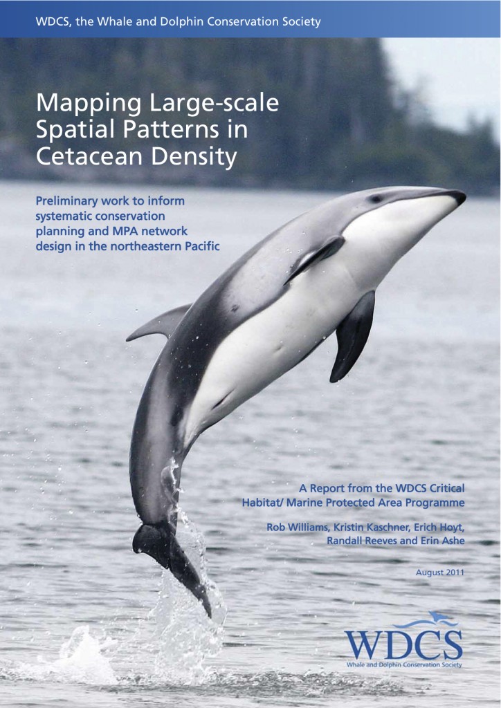
What about all the other whale, dolphin and porpoise species? How do you begin to identify the areas that are most important to species that cross national boundaries the way you and I cross the street? How do you look at the whole ocean and set aside priority areas to protect? These questions are at the core of marine spatial planning and systematic conservation planning. We partnered with Whale and Dolphin Conservation Society’s (WDCS) Critical Habitat/ Marine Protected Area Programme to outline steps to incorporate cetacean distribution into marine planning. Download the report by Rob Williams, Kristin Kaschner, Erich Hoyt, Randall Reeves and Erin Ashe here, or on Erich’s website, www.cetaceanhabitat.org.
The first step is outlining where people have looked for whales, and where they have and have not seen them. Then you can figure out methods to fill in the gaps.
One use of this report is in designing marine mammal-oriented protected areas (MPAs), networks and protection zones. We’ve mapped the data so you don’t have to. We’ve combed the published literature from all the line transect surveys we could find, and with Doug Sandilands’ help, we produced cetacean distribution and density maps for dozens of species throughout the vast IUCN marine region of the northeastern Pacific Ocean. The report includes a number of appendices for data sets and experts for the region.
At the First International Conference on Marine Mammal Protected Areas (ICMMPA) in Maui (Hawaii) in 2009, participants concluded that a global effort was needed to identify and define important marine mammal habitats and hot spots. Our new report is our contribution to that global effort. It sums up the current state of knowledge on the density of cetaceans on a large geographical scale. Such information — once integrated and mapped with similar data on other species and with biogeographic data covering environmental features and ocean processes — can be used to help identify critical habitat and contribute to the design and creation of MPAs, networks and zones in national waters and on the high seas. To paraphrase Mrs Carter, we’re working to create good, safe and secure homes for whales, dolphins and porpoises in BC waters.


So proud of you cuz. Looking forward to following your research. Also hoping to inspire the scientist in my youngest (Ronan) who LOVES dolphins. Thank you! Heather (Ashe) Sjordal
Beautiful website!
Thanks, Louis! That means a lot, coming from you. We have absolutely loved using Cybertracker to collect field data from our small boat. Unfortunately, a wet winter destroyed our handheld PDA, so we’re raising funds for a new device for our dolphin study. We’ll send you some photos when we’re successful.